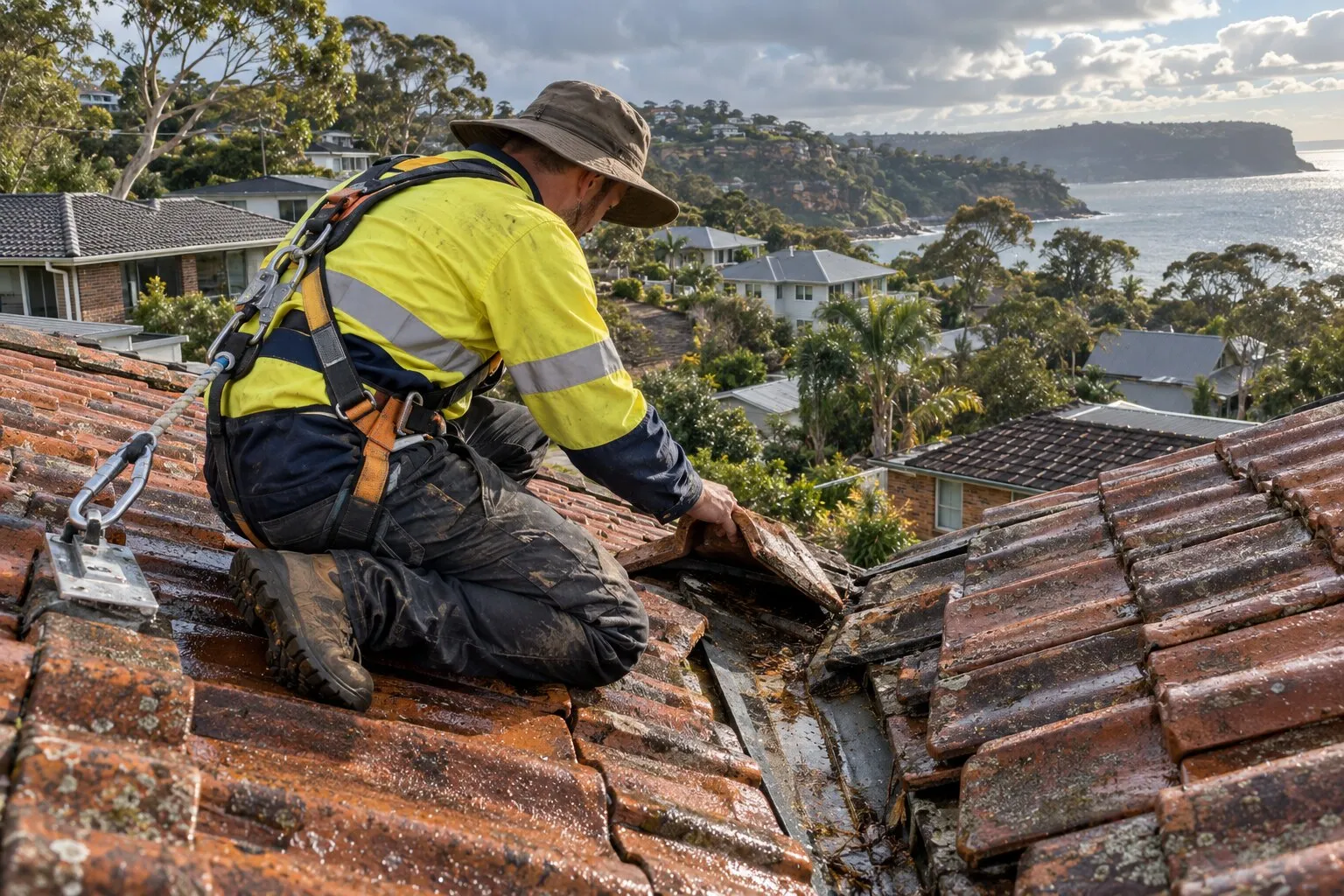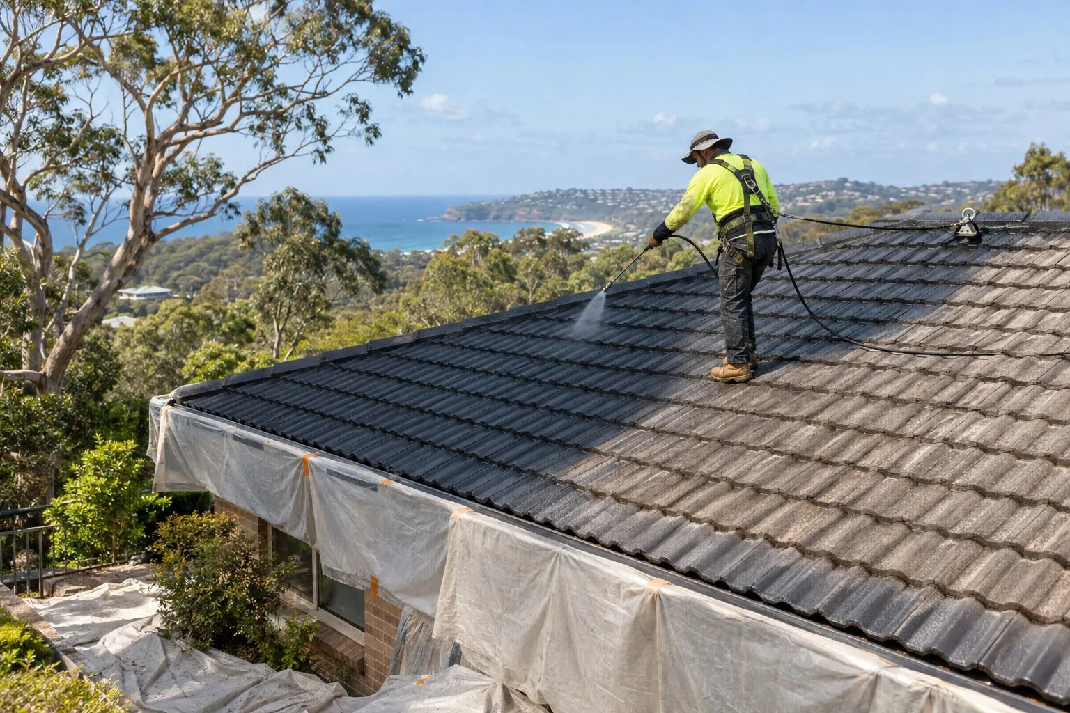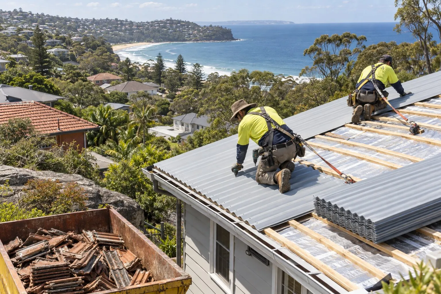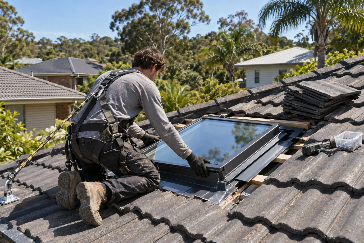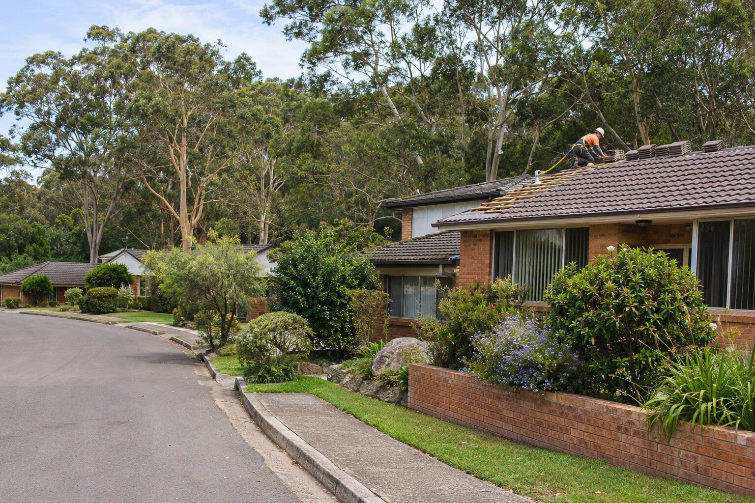
The bushland around Manly Dam fills most of Allambie Heights, and the suburb’s houses ring its edge. For roof repairs, a full roof replacement or new gutters and gutter guard in Allambie Heights, tell Roofing Northern Beaches about the roof, and a licensed local roofer who covers the suburb can call you to talk it through.
In the 2021 Census, 2,034 of Allambie Heights’ 2,339 occupied private dwellings (87.0%) were separate houses and 49.1% had four or more bedrooms, so most roofs here are the owner’s to arrange rather than an owners corporation’s. The Dictionary of Sydney says the suburb’s name means “a peaceful place” and that it “developed after the Second World War when returned soldiers sought land for building homes”.
Re-roofing beside Manly Dam’s heritage-listed bushland
About 65% of Allambie Heights is public recreation land, almost all of it the Manly Warringah War Memorial Park around Manly Dam, by our calculation from NSW Government map data. The park was added to the State Heritage Register on 13 January 2023, and most of it is also the Warringah LEP’s “Manly Dam and Surrounds” heritage conservation area, a landscape area rather than a group of houses.
The Codes SEPP’s exempt like-for-like re-roofing isn’t available “in a heritage conservation area”. By our calculation only a sliver of residential land on the reserve edge, about 0.3% of it, falls inside that area, and the map can’t tell us which lots. If your home backs onto the reserve, check council’s map or your section 10.7 planning certificate before planning a re-roof. By our map reading, no house in Allambie Heights is itself a listed heritage item.
Allambie Heights is in the former Warringah council area, so the Warringah LEP 2011 and DCP 2011 apply until the new Northern Beaches plans, exhibited from 20 July 2026, commence; council expects that in mid-2027. Where roof work needs a development application, the DCP says buildings close to bushland “must blend in to the natural landscape” and suggests “medium to dark roof tones”. The guide to council approval for a new roof covers when an application is needed.
Bush fire prone land along Manly Dam and Allenby Park
About 76% of Allambie Heights is mapped bush fire prone, by our calculation from NSW Government map data, and so is about 34% of its residential land, mostly the buffer beside the Manly Dam and Allenby Park bushland. The Northern Beaches Bush Fire Risk Management Plan, commencing 2025, names Allambie Heights as one of nine focus areas. It warns of the potential “for rapid impact upon nearby assets” in periods of elevated fire danger and says a high number of homes in the area are in its High Risk category. On 30 November 2025 a fire near Manly Dam prompted a Watch and Act alert for properties around Southern Cross Way, the Manly Observer reported.
On mapped land, an exempt re-roof must “be adequately sealed or protected to prevent the entry of embers” and “use equivalent or improved quality materials”, under the Codes SEPP. The BAL roofing requirements tool explains what each bush fire attack level asks of a roof.
Gutters and sloping blocks in Allambie Heights
Before a planned hazard reduction burn at Allenby Park in September 2024, Fire and Rescue NSW’s advice to neighbours, as reported by the Manly Observer, included “Clear gutters of leaf debris.” The NSW RFS adds that gutter and valley leaf guards “should be non-combustible and provided and installed in accordance with AS3959”. Gutters and gutter guard covers the options.
About half of Allambie Heights’ residential land is on what the Warringah LEP maps as landslip risk Area B, flanking slopes of 5 to 25 degrees, by our calculation. Those controls apply to development applications, and a like-for-like re-roof isn’t normally one.
Roofing work in Allambie Heights
Choose the work you’re planning in Allambie Heights, then describe the roof material, condition and access:
- Roof repairs: cracked and slipped tiles, ridge capping, valleys, flashings and rusted metal.
- Roof leak repairs: leaks traced back to where the water gets in, then fixed there.
- Roof restoration: clean, repair, rebed, repoint and recoat a roof that’s still sound.
- Roof replacement: old tile, iron or fibro roofs stripped and replaced, in Colorbond or new tiles.
- Gutters and gutter guard: gutters, downpipes and metal gutter guard.
Before re-roofing in Allambie Heights
Whether a new roof needs approval depends on the property, not just the suburb: whether it’s a heritage item or in a heritage conservation area, whether it’s on bush fire prone land, and whether the old roof contains asbestos. Your property’s planning certificate shows its heritage and bush fire status, and Northern Beaches Council explains exempt and complying development. The roofer should confirm the approval pathway with the quote. See roof replacement for the conditions.
Nearby suburbs
- Roofing in Frenchs Forest
- Roofing in Brookvale
- Roofing in Beacon Hill
- Roofing in Manly Vale
- Roofing across the Northern Beaches
Common questions
Does the State Heritage listing of Manly Dam affect my Allambie Heights roof?
Not directly, by our reading of NSW Government map data: the State Heritage Register listing covers the Manly Warringah War Memorial Park itself, the park rather than the houses beside it. The local conservation area is the one to check at the reserve edge.
Allambie Heights is a bush fire focus area. Do I have to upgrade my roof?
No. Council describes the bush fire plan as “a strategic document” for coordinated multi-agency work, and the NSW RFS says “Upgrading of existing building elements is not mandatory.” The ember-sealing conditions apply when an exempt re-roof is done on mapped land.
How do I find out if my Allambie Heights home is on bush fire prone land?
Check council’s bush fire prone land map, certified on 7 August 2020, or your section 10.7 planning certificate. Only the map or certificate can say for a particular property.
Does a steel roof in Allambie Heights need a coastal grade?
By our calculation, all of Allambie Heights’ residential land is more than 2 km from the ocean and beyond the marine distances in BlueScope’s selection table. BlueScope adds that “Absolute performance is subject to local conditions”, so ask the roofer to name the product in the quote. See steel roofs near the coast.
Where this information comes from
The local details on this page come from these published pages, checked on 5 November 2026.
- ABS: 2021 Census QuickStats, Allambie Heights · Australian Bureau of Statistics, housing and dwelling figures
- Dictionary of Sydney: Allambie Heights · Local history reference, archived 2021
- Northern Beaches Council: new Northern Beaches LEP and DCP · Council consultation page, read 5 November 2026
- Warringah Development Control Plan 2011: D10, D11, D12 and E10 · Council planning controls (live viewer), amendment 23 commenced 15 September 2025
- State Environmental Planning Policy (Exempt and Complying Development Codes) 2008, clauses 2.53 and 2.54 · NSW planning law: minor external building alterations, including roof cladding
- Northern Beaches Council: FAQs about heritage · Local council guidance, undated
- Manly Observer: War Memorial Park at Manly Dam now Heritage-listed · Local news report, 13 January 2023
- Northern Beaches Bush Fire Management Committee: Northern Beaches Bush Fire Risk Management Plan · Multi-agency bush fire risk plan, commencing 2025, focus area 1.1 Allambie Heights
- Northern Beaches Council: bush fires · Local council guidance, undated
- Northern Beaches Council: bush fire prone land · Local council guidance; map certified 7 August 2020
- NSW RFS: building on bush fire prone land, what you need to know · NSW Rural Fire Service guidance on upgrading existing buildings and leaf guards
- Manly Observer: Fire at Manly Dam at Allambie Heights · Local news report, 30 November 2025
- Manly Observer: Spotted smoke? Planned burns for Allambie Heights · Local news report quoting Fire and Rescue NSW, 9 September 2024
- BlueScope TB-1A: steel roofing products selection guide · Manufacturer technical bulletin, March 2023, revision 14
- NSW Planning: zoning, heritage, State Heritage Register, bush fire prone land and landslide risk map layers · NSW Government map data, used for our area calculations (bush fire prone land as certified 7 August 2020)
- NSW Spatial Services: suburb boundaries, coastline and waterways · NSW Government map data, used for our distance and area calculations