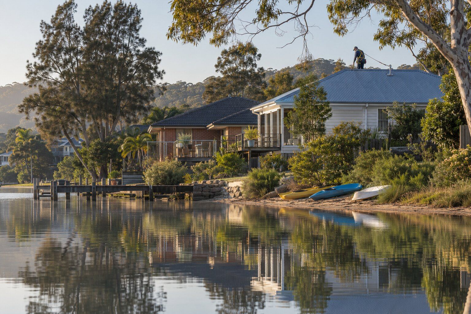
For a Narrabeen roof enquiry, describe the fault and confirm the suburb, especially for properties around the lagoon boundary. About half of Narrabeen’s area is water, by our calculation: the suburb takes in almost all of Narrabeen Lagoon, plus the sand strip between the lagoon and the beach. The Roofing Northern Beaches guides explain the work and local checks.
Most Narrabeen homes share a roof. Of its 3,678 occupied private dwellings at the 2021 Census, 2,378 (64.7%) were flats or apartments and 686 (18.7%) semi-detached or townhouses, leaving 582 (15.8%) separate houses. Council’s Local Housing Strategy notes “the high number of strata properties, particularly facing the beach”, and NSW Government guidance puts “Roof and gutters” with the owners corporation in most cases.
North or south of the lagoon? Two sets of rules
Narrabeen is in the former Warringah council area, so the Warringah LEP 2011 and DCP 2011 apply. North Narrabeen, across the lagoon, is a separate suburb in the former Pittwater council area, under the Pittwater LEP 2014 and the Pittwater 21 DCP. Council expects a single Northern Beaches LEP and DCP, exhibited in mid-2026, to commence in mid-2027.
The practical difference is roof colour. In Narrabeen, Warringah’s general controls set no banned colours: roofing materials “should not cause excessive glare and reflection”. In North Narrabeen, Pittwater’s D11.3 is firmer: “External colours and materials shall be dark and earthy tones”, “White, light coloured, red or orange roofs and walls are not permitted”, and “Finishes are to be of a low reflectivity.” By our reading, both are applied when the work needs a development application, so if a re-roof north of the lagoon needs approval, expect council to apply the Pittwater rule.
Heritage applies item by item: the state heritage map places a number of listed items in Narrabeen, a few of them houses, while Pittwater’s heritage schedule lists no houses in North Narrabeen. Neither side has a residential heritage conservation area, by our reading.
Beachfront blocks and salt air
By our calculation from NSW Government map data, about 24% of Narrabeen’s residential and town-centre land is within 200 metres of the ocean coastline, and about 77% within 500 metres. North Narrabeen is the opposite: under 1% is within 500 metres.
BlueScope’s selection guide recommends Colorbond Classic or Matt finishes more than 200 metres from breaking surf, Colorbond Ultra more than 100 metres away, and SUPERDURA stainless steel closer, measured from the high water mark. In the first 200 metres back from breaking surf, standard Colorbond falls outside that recommendation; see steel roofs near the coast.
Narrabeen’s beachfront is part of the Collaroy–Narrabeen coastal erosion hotspot, and about 4% of its residential land is on the Warringah coastline hazard map, by our calculation. That map’s DCP control (E9) deals with setbacks and foundations, not roofs.
Rain, floods and the lagoon’s bushland
The lagoon’s floodplain risk management plan (a 2018 revised draft prepared for council) records foreshore floods in “1911, 1931, 1942, 1956, 1958, 1961, 1974, 1975, 1977, 1978, 1986, 1987, 1998, 2003, 2011 and 2016”. In March 2022 the SES ordered parts of the foreshore to evacuate, and on 17–18 January 2026 ABC News reported that “More than 60 people were forced to leave.” If heavy rain has come through a ceiling, see roof leaking: what to do first; for storm damage, council’s advice is to call the NSW SES on 132 500.
About 5% of Narrabeen’s residential land is on council’s bush fire prone land map, by our calculation, mostly buffer near the bushland of Jamieson Park and Pipeclay Point Park on the lagoon’s south-western shore. On mapped land, an exempt re-roof must “be adequately sealed or protected to prevent the entry of embers” and “use equivalent or improved quality materials”.
Roofing work in Narrabeen
Choose the work you’re planning in Narrabeen, then describe the roof material, condition and access:
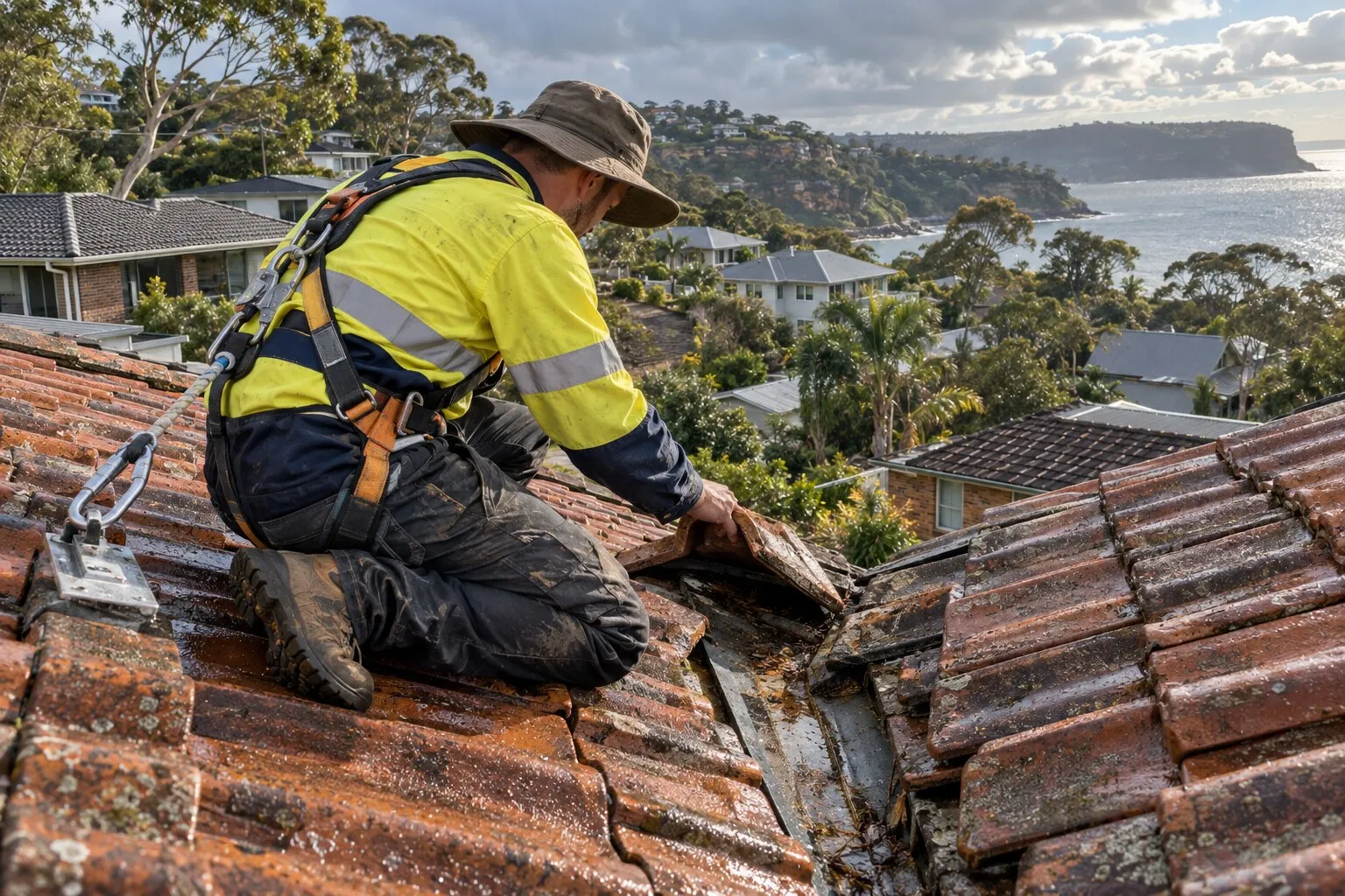
- Roof repairs: cracked and slipped tiles, ridge capping, valleys, flashings and rusted metal.
- Roof leak repairs: leaks traced back to where the water gets in, then fixed there.
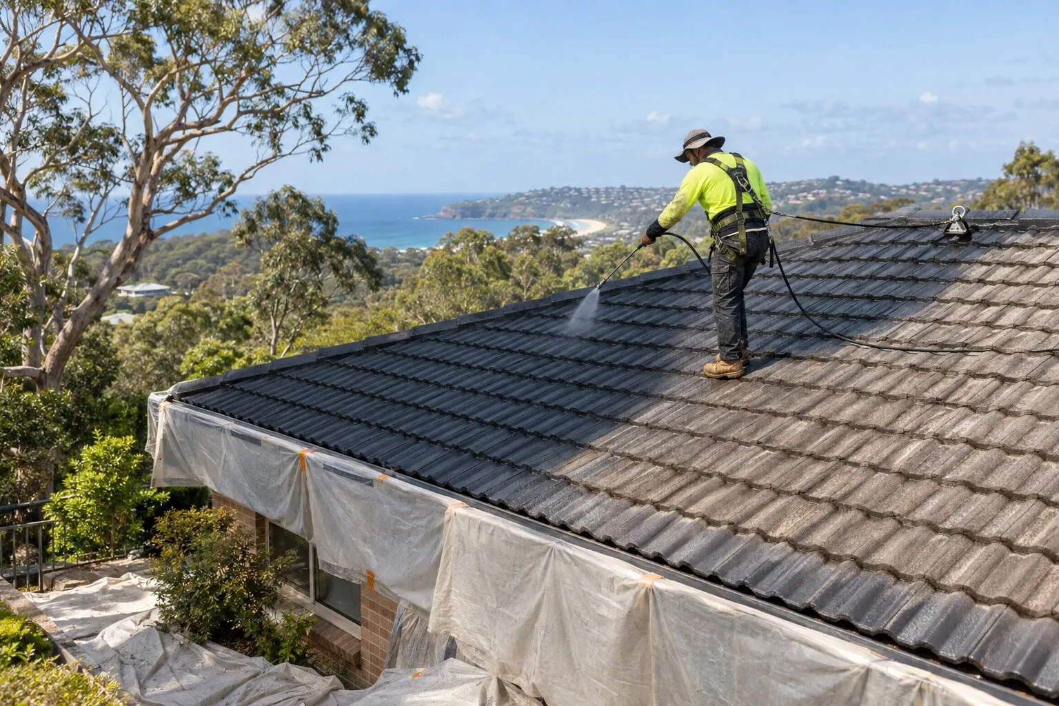
- Roof restoration: clean, repair, rebed, repoint and recoat a roof that’s still sound.
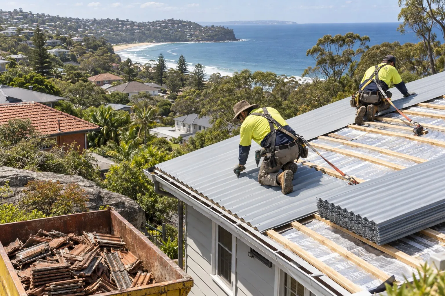
- Roof replacement: old tile, iron or fibro roofs stripped and replaced, in Colorbond or new tiles.
- Gutters and gutter guard: gutters, downpipes and metal gutter guard.
Before re-roofing in Narrabeen
Whether a new roof needs approval depends on the property, not just the suburb: whether it’s a heritage item or in a heritage conservation area, whether it’s on bush fire prone land, and whether the old roof contains asbestos. Your property’s planning certificate shows its heritage and bush fire status, and Northern Beaches Council explains exempt and complying development. The roofer should confirm the approval pathway with the quote. See roof replacement for the conditions.
Nearby suburbs
Common questions
Which council rules apply to my Narrabeen roof?
Narrabeen, south of the lagoon, is in the former Warringah council area, so the Warringah LEP 2011 and DCP 2011 apply. North Narrabeen, across the lagoon, falls under the former Pittwater council’s LEP 2014 and Pittwater 21 DCP. Your section 10.7 planning certificate shows the plans that apply to your property.
Can I have a light-coloured roof in North Narrabeen?
Not if the work needs council approval, by our reading: Pittwater 21 DCP D11.3 says “White, light coloured, red or orange roofs and walls are not permitted”, and asks for “dark and earthy tones”. South of the lagoon, Warringah’s controls set no banned colours.
Which steel roof suits a Narrabeen beachfront home?
BlueScope’s selection guide recommends Colorbond Ultra more than 100 metres from breaking surf and SUPERDURA stainless steel closer than that, with Colorbond Classic or Matt beyond 200 metres, measured from the high water mark. Confirm the product with the roofer for your distance.
Who arranges a roof repair on a Narrabeen strata block?
Usually the owners corporation: NSW Government guidance lists roofs and gutters among the common-property repairs it’s responsible for in most cases. The strata manager can confirm how that applies to your building.
Where this information comes from
The local details on this page come from these published pages, checked on 1 October 2026.
- ABS: 2021 Census QuickStats, Narrabeen · Australian Bureau of Statistics, housing and dwelling figures
- Northern Beaches Council: Local Housing Strategy · Council strategy, adopted December 2021
- NSW Government: strata repairs and maintenance · NSW Government guidance, updated 22 June 2026
- Warringah Development Control Plan 2011: D10 to D12 and E9 Coastline Hazard · Council planning controls (live viewer), amendment 23 commenced 15 September 2025
- Pittwater 21 Development Control Plan: D11.3 Building colours and materials (North Narrabeen Locality) · Council planning controls (live viewer)
- Northern Beaches Council: A clearer set of planning rules for the Northern Beaches · Council media release, 20 July 2026
- State Environmental Planning Policy (Exempt and Complying Development Codes) 2008, clauses 2.53 and 2.54 · NSW planning law: minor external building alterations, including roof cladding
- Northern Beaches Council: bush fire prone land · Local council guidance; map certified 7 August 2020
- BlueScope TB-1A: steel roofing products selection guide · Manufacturer technical bulletin, March 2023, revision 14
- Northern Beaches Council: erosion · Council page listing the NSW coastal erosion hotspots, undated
- Northern Beaches Council: East Coast Low, get prepared · Local council news item, 2 July 2025
- Narrabeen Lagoon Floodplain Risk Management Plan, revised draft (Cardno for Northern Beaches Council) · Council-commissioned plan, 27 September 2018
- The Leader: Narrabeen Lagoon residents ordered to evacuate · Regional news report, March 2022
- ABC News: Flash flooding, heavy rainfall and gusty weather keeps SES busy on NSW coast · National news report, 18 January 2026
- NSW Planning: heritage, zoning and land application map layers, and the bush fire prone land layer · NSW Government map data, used for our area calculations (bush fire prone land as certified 7 August 2020)
- NSW Spatial Services: suburb boundaries, coastline and water areas · NSW Government map data, used for our distance and area calculations
- Northern Beaches Council: planning map service (Warringah coastline hazard map) · Council map data