Describe the roof damage in Collaroy, including whether it followed a storm and whether access is from a beachfront or sloping block. Collaroy runs from Long Reef headland north along the beach to Narrabeen, and back up the slopes toward Collaroy Plateau. The Roofing Northern Beaches guides explain the work and local checks.
Collaroy is split between flats and houses: of its 2,986 occupied private dwellings at the 2021 Census, 1,589 (53.2%) were flats or apartments and 1,245 (41.7%) were separate houses. So a roofing job here is about as likely to start with a strata committee as with a homeowner; NSW Government guidance puts “Roof and gutters” with the owners corporation in most cases.
The beachfront since June 2016
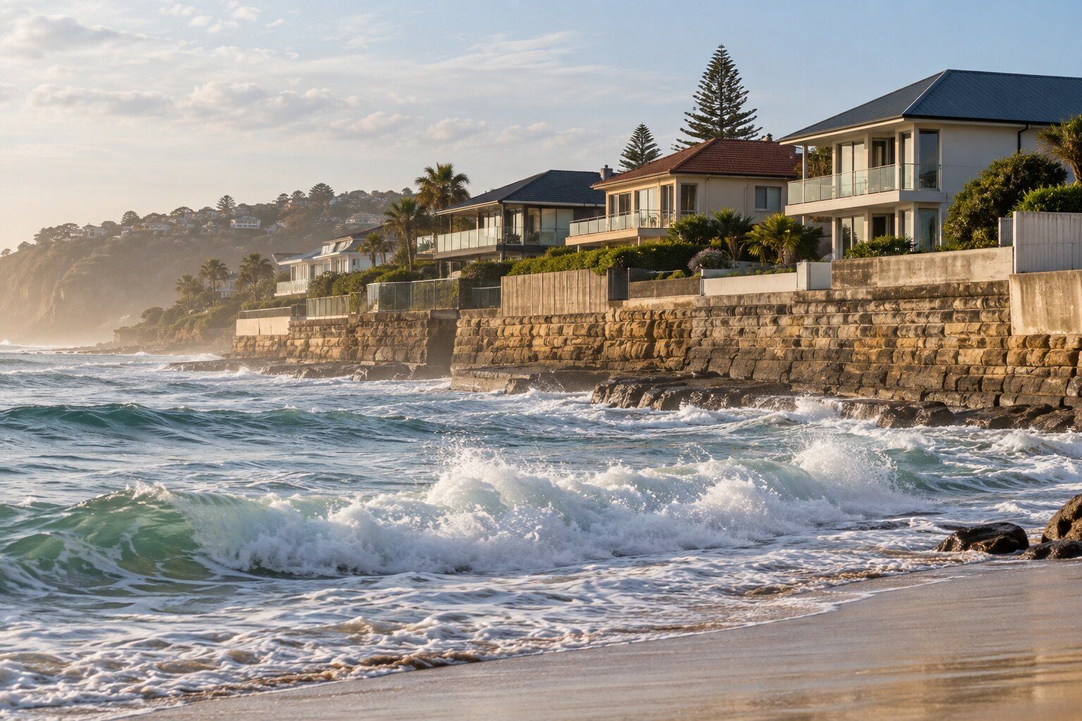
The NSW Government’s recovery report on the June 2016 East Coast Low records that “In Collaroy, between Stuart and Ramsay Streets 10 houses and one apartment block with 14 apartments were significantly impacted by coastal erosion.” Residents were evacuated, and owners were given access to “remove parts of their homes that were considered a public safety risk, such as partially fallen balconies.”
Council lists Collaroy-Narrabeen Beach among the NSW Government’s coastal erosion hotspots, and coastal protection works at the Stuart and Ramsay Street road ends are complete. On the beachfront lots, Warringah DCP E9 (Coastline Hazard) deals with setbacks and foundations rather than roofs.
By our calculation from NSW Government map data, about 16% of Collaroy’s residential land is within 200 metres of the ocean coastline, a map measure that ignores shelter and height. Within 200 metres of breaking surf, BlueScope’s selection guide recommends Colorbond Ultra (beyond 100 metres) or SUPERDURA stainless steel rather than Classic or Matt Colorbond; see steel roofs near the coast.
Heritage-listed houses
By our count from the state heritage map, more than ten individually listed houses fall within Collaroy, along with a cinema, the rock pool and several groups of street trees and palms. The heritage conservation areas that reach Collaroy are reserves, not streets: Long Reef Aquatic Reserve, the coastal cliffs and part of Dee Why Lagoon.
For a listed house, the exempt route doesn’t cover the roof: the NSW Codes SEPP’s roof cladding clause applies “if it is not constructed or installed on or in a heritage item or a draft heritage item or in a heritage conservation area or a draft heritage conservation area”. Council’s heritage FAQ says “If you wish to repair, change or renovate your heritage-listed property you need to lodge a development application”, and that sympathetic work may mean retaining “the original roof pitch, materials, window placement, setback and colour.” For minor works or maintenance, council’s Heritage Exemption Application (form 1001) is the way to seek an exemption from needing consent.
The slopes below Collaroy Plateau
About two-thirds of Collaroy’s residential land is in the Collaroy Plateau landslip classes on the Warringah LEP map, by our calculation from NSW Government map data. The DCP describes Area D as “Flanking slopes (Collaroy Plateau area)” of 5 to 15 degrees, and Area E as “Steeper slopes (Collaroy Plateau area)” of more than 15 degrees. In Area D, development needs “A preliminary assessment of site conditions”; by our reading, that applies to development applications, not an exempt re-roof. On a steep block, getting scaffolding and materials to the roof takes more planning, so ask the roofer how access affects the quote.
About 17% of Collaroy’s residential land is on council’s bush fire prone land map, by our calculation, almost all of it buffer near the bushland on Long Reef headland and the slopes below Collaroy Plateau. On mapped land, an exempt re-roof must “be adequately sealed or protected to prevent the entry of embers” and “use equivalent or improved quality materials”.
Roofing work in Collaroy
Choose the work you’re planning in Collaroy, then describe the roof material, condition and access:
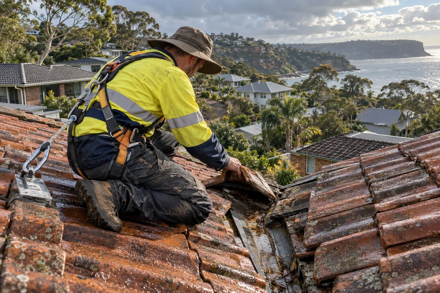
- Roof repairs: cracked and slipped tiles, ridge capping, valleys, flashings and rusted metal.
- Roof leak repairs: leaks traced back to where the water gets in, then fixed there.
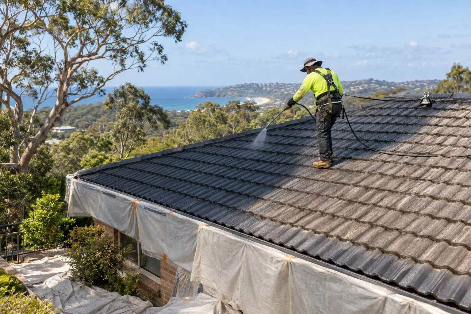
- Roof restoration: clean, repair, rebed, repoint and recoat a roof that’s still sound.
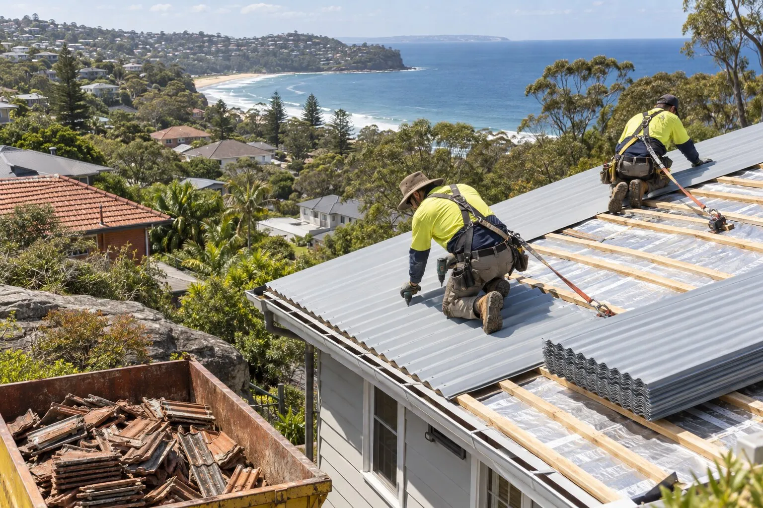
- Roof replacement: old tile, iron or fibro roofs stripped and replaced, in Colorbond or new tiles.
- Gutters and gutter guard: gutters, downpipes and metal gutter guard.
Before re-roofing in Collaroy
Whether a new roof needs approval depends on the property, not just the suburb: whether it’s a heritage item or in a heritage conservation area, whether it’s on bush fire prone land, and whether the old roof contains asbestos. Your property’s planning certificate shows its heritage and bush fire status, and Northern Beaches Council explains exempt and complying development. The roofer should confirm the approval pathway with the quote. See roof replacement for the conditions.
Nearby suburbs
Common questions
My Collaroy house is heritage-listed. Can I replace the roof without approval?
Not through the Codes SEPP’s exempt route: it covers roof cladding work “if it is not constructed or installed on or in a heritage item or a draft heritage item”. Council says heritage-listed properties need a development application for repairs or changes, and its Heritage Exemption Application lets owners seek an exemption for minor works or maintenance.
Does the 2016 erosion affect re-roofing a beachfront home?
Warringah DCP E9, the coastline hazard control, deals with setbacks and foundations, not roofs. What the beachfront changes is salt exposure: BlueScope’s selection guide recommends Colorbond Ultra more than 100 metres from breaking surf and SUPERDURA stainless steel closer than that, measured from the high water mark.
I’m on the slopes below Collaroy Plateau. Does that change anything?
For a development application, yes: land in landslip Area D needs a preliminary assessment of site conditions under the Warringah DCP. By our reading, an exempt re-roof doesn’t trigger it.
Is Collaroy bush fire prone?
Parts are. By our calculation, about 17% of Collaroy’s residential land is on council’s bush fire prone land map, mostly as buffer near Long Reef headland and the slopes below Collaroy Plateau. Your section 10.7 planning certificate shows whether your property is mapped.
Where this information comes from
The local details on this page come from these published pages, checked on 1 October 2026.
- ABS: 2021 Census QuickStats, Collaroy (NSW) · Australian Bureau of Statistics, housing and dwelling figures
- NSW Government: strata repairs and maintenance · NSW Government guidance, updated 22 June 2026
- NSW Government: State Recovery Co-ordinator Report, June 2016 East Coast Low · State government report, August 2016, via the AIDR Knowledge Hub
- Northern Beaches Council: erosion · Council page listing the NSW coastal erosion hotspots, undated
- Northern Beaches Council (Your Say): Stuart & Ramsay Streets, Collaroy, beach access and coastal protection · Council project page, undated (consultation November 2024)
- Warringah Development Control Plan 2011: D10-D12, E9 Coastline Hazard and E10 Landslip Risk · Council planning controls (live viewer), amendment 23 commenced 15 September 2025
- State Environmental Planning Policy (Exempt and Complying Development Codes) 2008, clauses 2.53 and 2.54 · NSW planning law: minor external building alterations, including roof cladding
- Northern Beaches Council: FAQs about heritage · Local council guidance, undated
- Northern Beaches Council: forms (Heritage Exemption Application, form 1001) · Council forms page, undated
- Northern Beaches Council: bush fire prone land · Local council guidance; map certified 7 August 2020
- BlueScope TB-1A: steel roofing products selection guide · Manufacturer technical bulletin, March 2023, revision 14
- NSW Planning: heritage, zoning, land application and Warringah landslip risk map layers, and the bush fire prone land layer · NSW Government map data, used for our area calculations (bush fire prone land as certified 7 August 2020)
- NSW Spatial Services: suburb boundaries, coastline and place names · NSW Government map data, used for our distance and area calculations