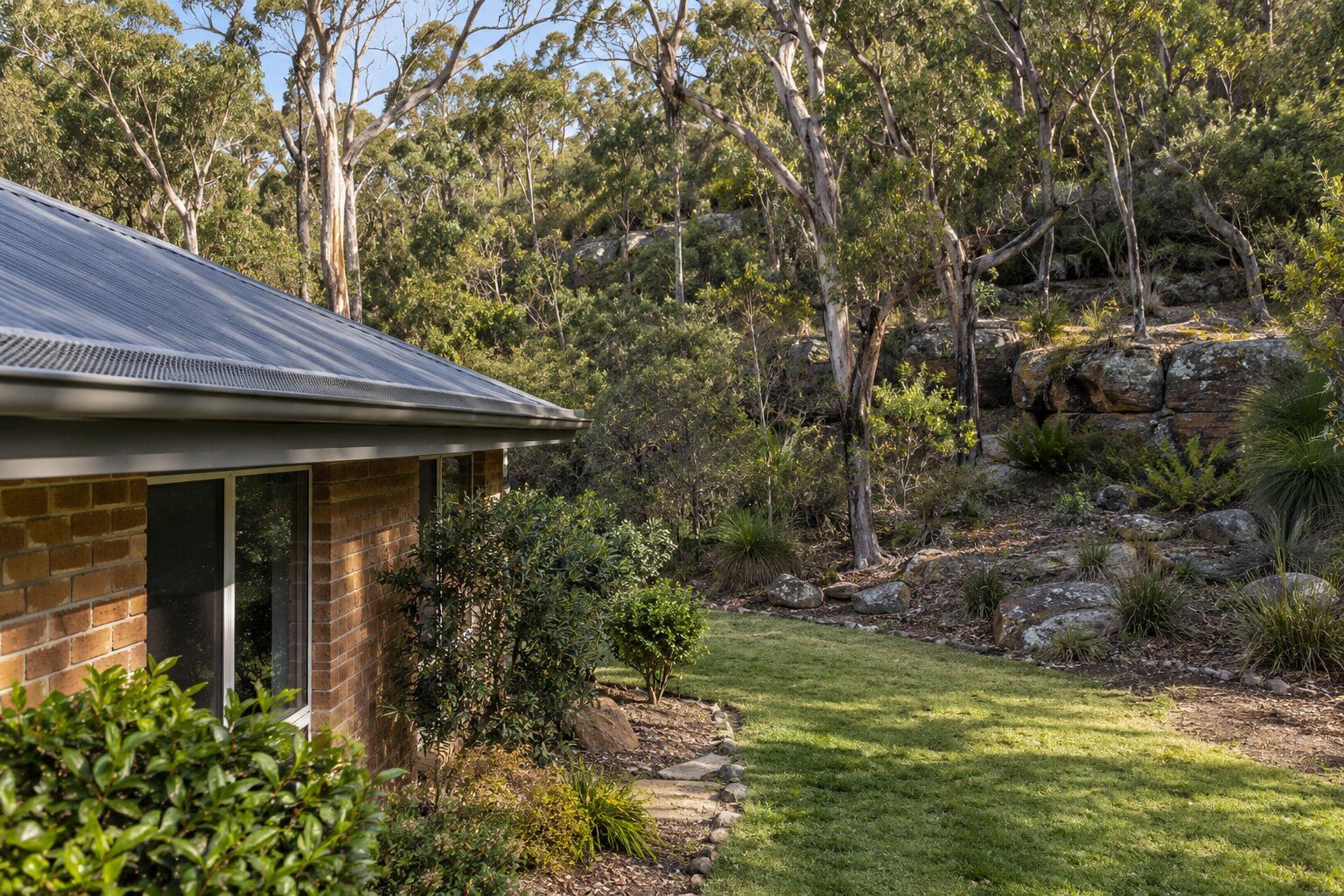
For roof work in Belrose, describe the fault and mention bushland beside the home, shared roof sections and access restrictions. West of Forest Way, Belrose North is still governed by Warringah Local Environmental Plan 2000, a plan that council describes as “unique” because “there are no land use “zones””. The Roofing Northern Beaches guides explain the work and local checks.
In the 2021 Census, 79.3% of occupied private dwellings were separate houses, 9.5% were semi-detached, row or terrace houses or townhouses, and 11.0% were flats or apartments; 59.3% had four or more bedrooms. If your roof is shared with a neighbour, say so in the request, with the number of storeys.
Bush fire prone land in Belrose
By our calculation from council map data, about 80% of Belrose’s land is bush fire prone, taking in Garigal National Park, Ku-ring-gai Chase and the Belrose North bushland. The main residential streets are less exposed: about 20% of the suburb’s low-density residential zone is mapped, almost all of it in the buffer around the bush rather than the bush itself. In the 2010 Warringah Pittwater Bush Fire Risk Management Plan, which council still cites, the areas listed as “Belrose Rural” (Morgan Road) and “Belrose (East) Urban” (around Perentee Road) are rated “Extreme”.
The NSW RFS says “85% of houses are lost from ember attack” and “Ember attack can occur over distances greater than 100 metres from the bush fire front”, so it’s worth keeping gutters clear even a few streets back from the bush. The RFS says “gutter and valley leaf guards should be non-combustible and provided and installed in accordance with AS3959”. See gutters and gutter guard.
Belrose North and the 2000 plan
About 39% of Belrose, by our calculation, is “deferred” land that was left out of Warringah LEP 2011, so “planning controls under WLEP2000 continue to apply to these areas”, council says. Nearly all of it is bush fire prone. The plan’s character statement for Belrose North says “buildings which are designed to blend with the colours and textures of the natural landscape will be strongly encouraged”.
A draft Northern Beaches plan, expected in mid-2027, would bring standard zones to this land. Until it starts, the 2000 plan applies.
Roof rules in the Belrose Corridor
Across Belrose, Warringah DCP 2011 asks for roofs that don’t cause “excessive glare and reflection”. In the Belrose Corridor area it sets out, beside Hews Reserve, Garigal National Park and Forest Way, the rules for new dwellings go further:
- Roof forms: “Suitable elements for roof forms include hips, skillions, flat roofs, curved roofs, and gables.”
- Eaves: “Eaves should have a minimum of 400mm overhang and be provided to a minimum of 70% of the dwelling”.
- Colours: “a neutral palette of colours. Bright and highly reflective colours are to be avoided. Multi-coloured roof tiles are not permitted”.
Recent fires near Belrose homes
On 23 November 2024, Fire and Rescue NSW and RFS crews from Davidson, Terrey Hills and Ingleside found “a bushfire running along the northern side of Ralston Avenue, west of Elm Avenue” and set about “establishing protection for a home located to the west of the electricity substation”, the Northern Beaches Advocate reported. On 2 December 2025, crews responded to smoke near the end of Lord Street, a cul-de-sac off Wearden Road, in a fire treated as deliberate. The 2010 risk plan recorded that “The Warringah Pittwater BFMC area has on average 48 bush fires per year”.
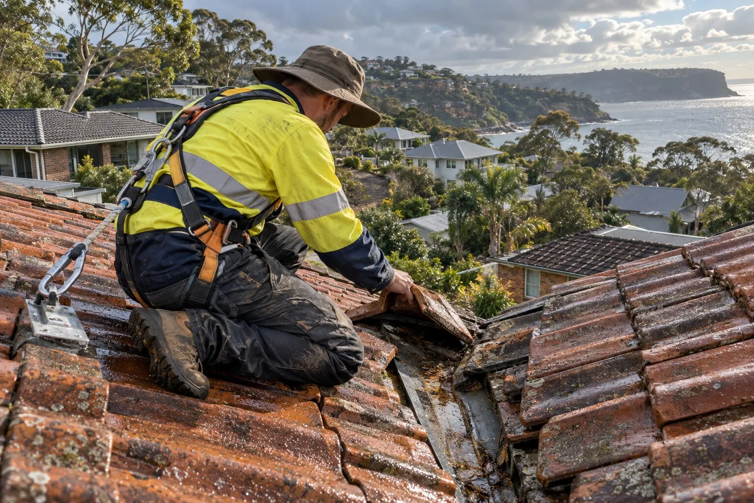
The RFS says maintenance “should include the removal of litter from the roof, valleys and gutters in advance of the bush fire season.”
Roofing work in Belrose
Choose the work you’re planning in Belrose, then describe the roof material, condition and access:
- Roof repairs: cracked and slipped tiles, ridge capping, valleys, flashings and rusted metal.
- Roof leak repairs: leaks traced back to where the water gets in, then fixed there.
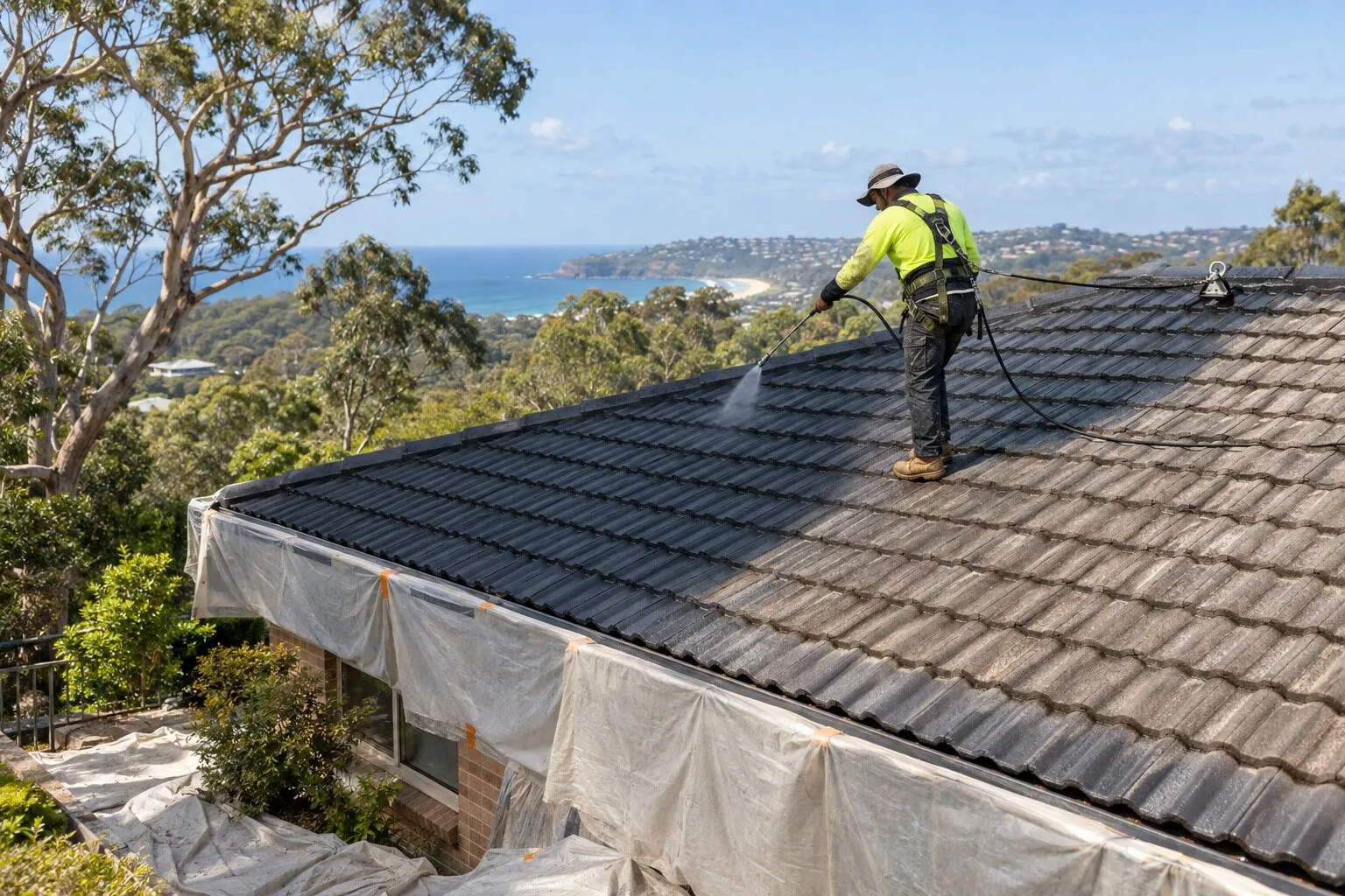
- Roof restoration: clean, repair, rebed, repoint and recoat a roof that’s still sound.
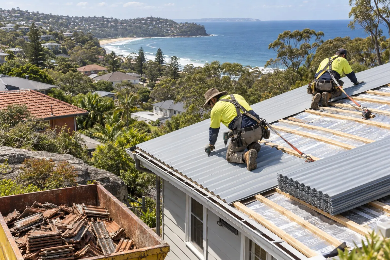
- Roof replacement: old tile, iron or fibro roofs stripped and replaced, in Colorbond or new tiles.
- Gutters and gutter guard: gutters, downpipes and metal gutter guard.
Before re-roofing in Belrose
Whether a new roof needs approval depends on the property, not just the suburb: whether it’s a heritage item or in a heritage conservation area, whether it’s on bush fire prone land, and whether the old roof contains asbestos. Your property’s planning certificate shows its heritage and bush fire status, and Northern Beaches Council explains exempt and complying development. The roofer should confirm the approval pathway with the quote. See roof replacement for the conditions.
Nearby suburbs
Common questions
Can I re-roof in Belrose without council approval?
A straight re-roof can often be done without approval, as exempt development, if it meets the Codes SEPP’s conditions. On bush fire prone land, the new roof must be “adequately sealed or protected to prevent the entry of embers” and use “equivalent or improved quality materials”. The SEPP doesn’t settle a change from tiles to metal, so check with council or a certifier first. The suburb’s one heritage-listed house needs council’s view before any roof work.
Are multi-coloured roof tiles allowed in Belrose?
Not in the Belrose Corridor area set out in the Warringah DCP, where the dwelling rules say “Multi-coloured roof tiles are not permitted” and colours are to come from a neutral palette. Those rules apply to work that needs a development application. Elsewhere in Belrose, the DCP’s general glare and bushland colour rules apply, so ask council before ordering a new colour.
Is my house in Belrose North under different rules?
If it’s on the deferred land west of Forest Way, yes: Warringah LEP 2000 still applies there. Your section 10.7 planning certificate shows which plan covers your block.
Do I have to upgrade an older Belrose roof for bush fire?
No. The NSW RFS says “Upgrading of existing building elements is not mandatory.” Its advice for homes near bushland includes cleaning gutters, installing metal gutter guards and repairing damaged or missing roof tiles. Council’s map, or your planning certificate, shows whether your block is mapped bush fire prone; council notes the map “does not identify a property’s Bush fire Attack Level (BAL) rating”.
Where this information comes from
The local details on this page come from these published pages, checked on 1 October 2026.
- Northern Beaches Council: Planning Proposal Appendix I, Deferred Lands Background and Proposed Approach · Council planning proposal, amended 28 May 2024
- Northern Beaches Council: Clearer planning rules for the Northern Beaches · Council project page on the draft Northern Beaches LEP and DCP, updated 30 September 2026
- Warringah Development Control Plan 2011: D10 Building Colours and Materials, D11 Roofs, G3 Belrose Corridor · Northern Beaches Council planning controls, live DCP
- State Environmental Planning Policy (Exempt and Complying Development Codes) 2008, clauses 2.53 and 2.54 · NSW planning law: minor external building alterations, including roof cladding
- Northern Beaches Council: FAQs about heritage · Local council guidance, undated
- Northern Beaches Council: bush fire prone land · Local council guidance; map certified 7 August 2020
- Warringah Pittwater Bush Fire Management Committee: Bush Fire Risk Management Plan · Multi-agency bush fire risk plan, 2010, asset register and fire history
- Northern Beaches Council: bush fires · Local council guidance, undated
- NSW RFS: building on bush fire prone land, what you need to know · NSW Rural Fire Service guidance on ember attack and upgrading existing buildings
- NSW RFS: prepare your home · NSW Rural Fire Service guidance
- Northern Beaches Advocate: Bushfire at Belrose · Local news, 24 November 2024
- Northern Beaches Advocate: Second fire deemed deliberate · Local news, 5 December 2025
- NSW Planning Portal map data: bush fire prone land · NSW Government hazard maps, used for our area calculations
- NSW Planning Portal map data: land zoning and heritage · NSW Government planning maps, used for our area calculations and heritage listing
- NSW Spatial Services: suburb boundaries · NSW Government boundary data, used for our area calculations
- ABS: 2021 Census QuickStats, Belrose · Housing and household figures